

ABOUT US
Best Drone Service Provider in UAE
Spatialwings is a leading provider of advanced drone services and geospatial solutions across the MENA region. Specializing in aerial LiDAR, photogrammetry mapping, and a comprehensive range of geospatial services, the company is dedicated to delivering precision and excellence.
Our expertise lies in harnessing cutting edge drone technology to offer innovative solutions in various sectors including surveying, construction, environmental monitoring, and more.
Committed to quality and accuracy, Spatialwings LLC is the go to partner for transforming aerial data into actionable insights, propelling projects to new heights in the MENA region.

OUR CLIENTS


OUR SERVICES
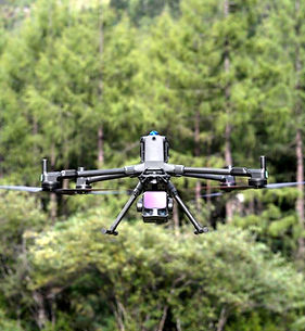
Our Drone Services in UAE
Spatialwings delivers professional drone surveying, drone mapping, drone inspection, and geospatial analytics services in UAE, designed to help businesses make accurate, data-driven decisions. Our operations use RTK/PPK-enabled drones, precision photogrammetry sensors, ground control points (GCPs), and advanced GIS workflows to ensure engineering grade accuracy across all deliverables.
Our advanced drone solutions support construction, real estate, infrastructure, agriculture, environmental management, and industrial operations across the UAE providing reliable aerial intelligence for technical, planning, and monitoring needs.

_edited.jpg)


INDUSTRIES
Empowering industries with advanced drone technology, we help businesses plan, monitor, inspect, and analyze assets with speed, accuracy, and confidence across diverse sectors.

We support:
• High precision drone survey for construction UAE
• Construction drone survey UAE
• Earthwork & volume tracking
• 3D mapping & modelling UAE
• Progress intelligence dashboards
For EPC contractors, developers, and civil engineering firms.


Years of Industrial Experience
10+
3000+
Flight Hours
50+
Projects Completed
1000+
