
Our Work Client Albums & Project Portfolio
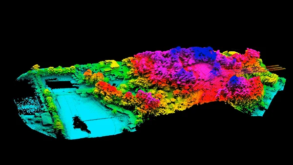
Welcome to our project gallery. Over the years, we've helped clients across industries from infrastructure and land surveying to renewable energy and asset inspections by delivering high-resolution drone data, mapping, imagery, and analytics. This album showcases select projects, giving you a preview of our capabilities and the quality you can expect from Spatialwings.


Why Browse Our Albums
Use a short section that explains why this page matters — to build trust, show expertise, and help clients visualise what you can deliver. Example text:
See the difference drone-enabled surveying & inspection can make. Our galleries let you explore real project outcomes — from detailed maps to high-quality aerial imagery.
Quality & Transparency: Every album reflects actual work, not stock images.
Versatility: Projects from different industries and geographies terrain mapping, asset inspection, progress monitoring, and more.
Proof of Expertise: Showcase of licensed drone pilots, advanced equipment, and reliable workflows delivering actionable output to clients.