top of page

Drone Survey & Mapping Services in UAE
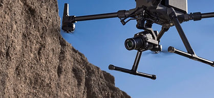
Our drone survey and mapping services in UAE provide precise, high-resolution aerial data for land development, construction monitoring, and site planning. Using RTK/PPK-enabled drones, automated flight planning, photogrammetry software, and GIS technology, we deliver accurate orthomosaics, contour maps, elevation models, and 3D mapping outputs with centimetre level precision.
What We Deliver
-
High-accuracy aerial land surveys using RTK/PPK positioning
-
Orth mosaic mapping & georeferenced imagery
-
Topographic mapping & GCP-integrated contour generation
-
DEM, DSM, DTM outputs processed through GIS
-
3D terrain models & dense point clouds
-
Construction progress tracking with time-stamped datasets

bottom of page